Documenting Human Rights Violations
Against Syrians
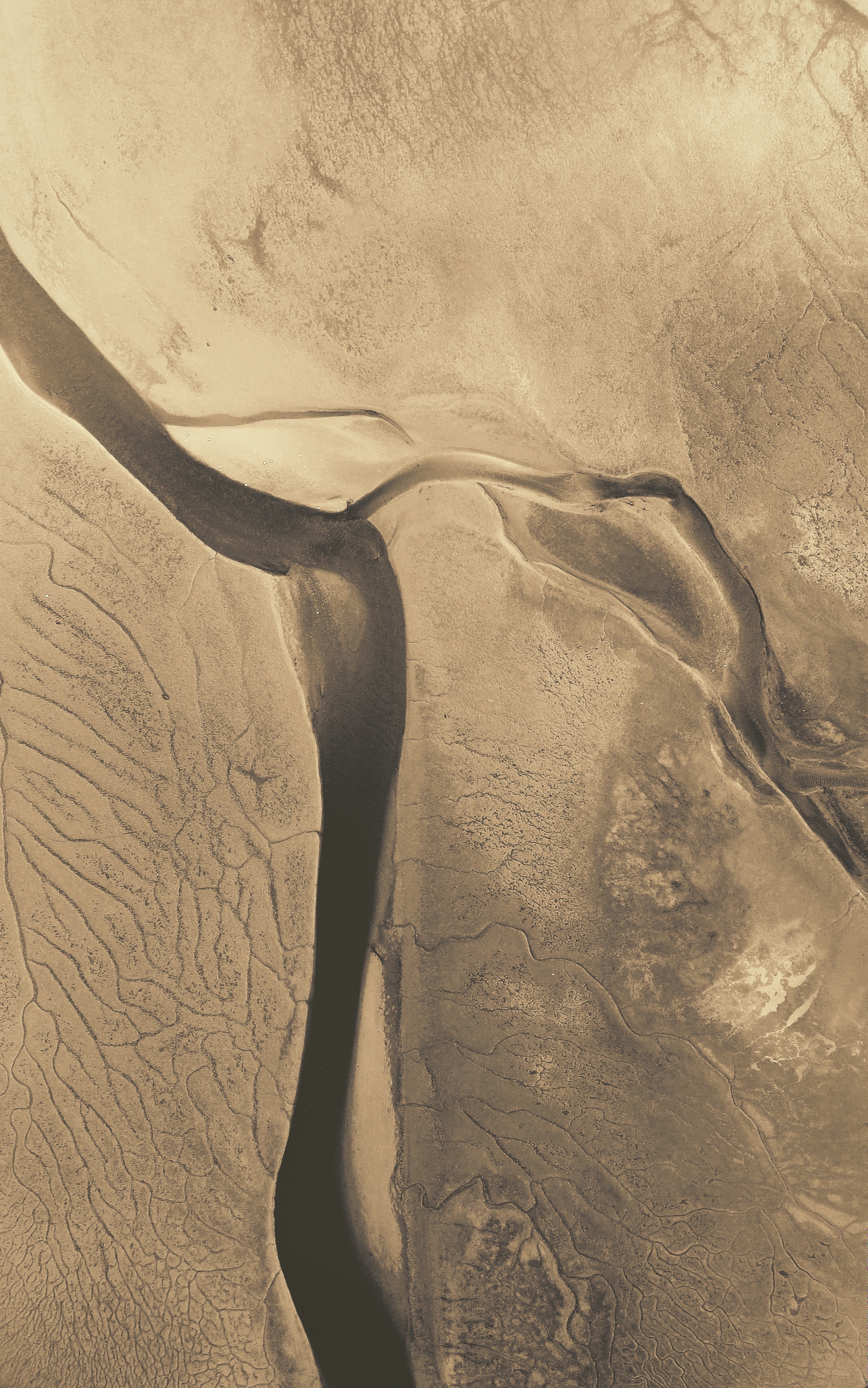
In Syria, the government has repeatedly violated international law by employing punitive barrel-bomb and missile attacks and demolitions of neighborhoods accused of supporting opposition forces. Our research documents the time and location of these attacks using the Landsat earth observing constellation of satellites. This information can be used to prosecute perpetrators in international courts and provide an estimate of destroyed area for eventual rebuilding. The study used a pre-conflict baseline of six years to better detect when urban destruction events occurred after the start of the conflict. Leveraging high-resolution satellite documentation efforts for ground-reference, the approach is accurate within 74%, providing the international community way forward to monitor and document urban destruction in arid environments.
Publication link here.
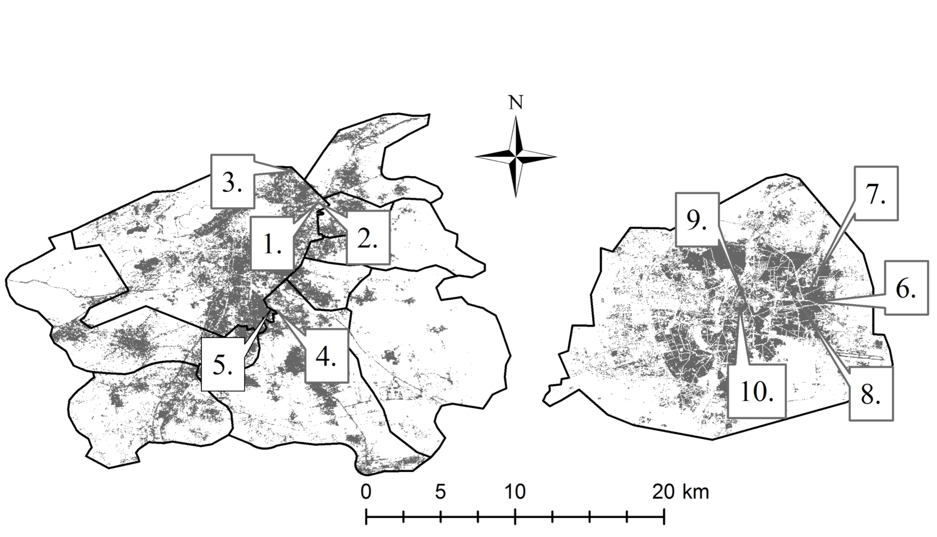
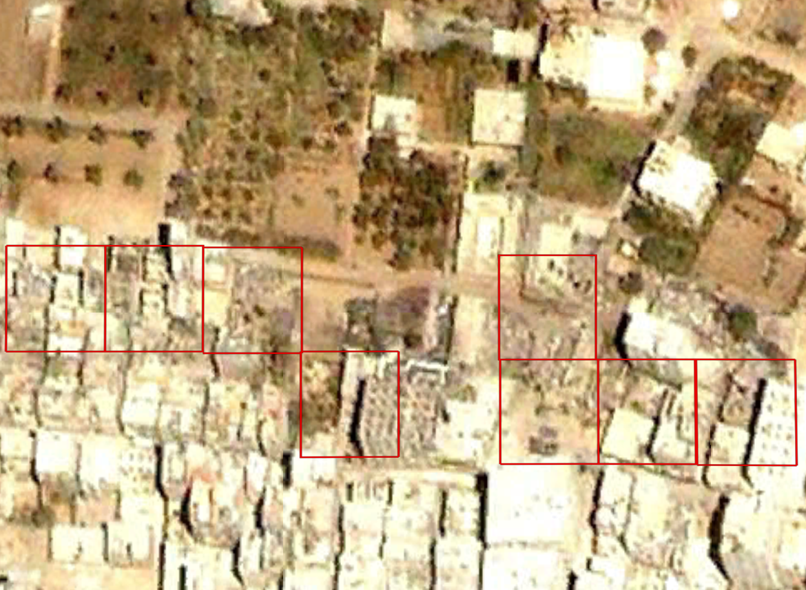
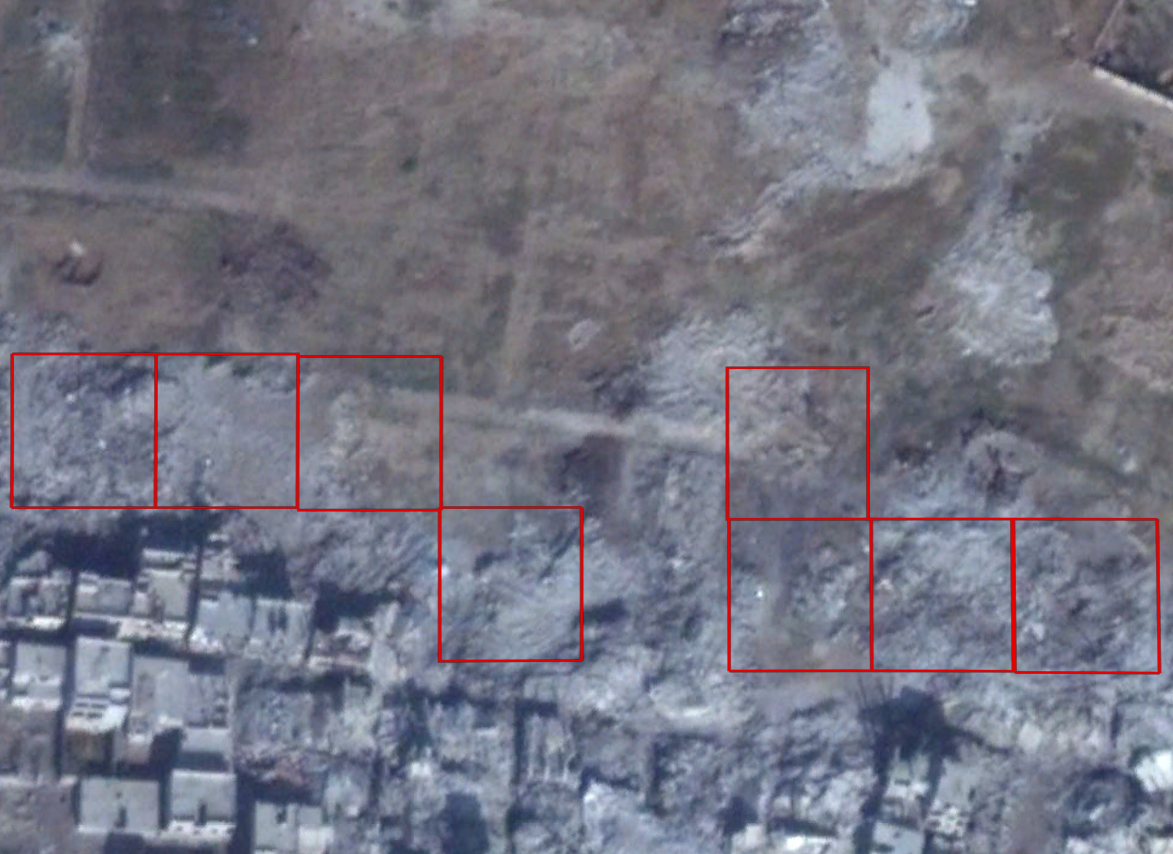
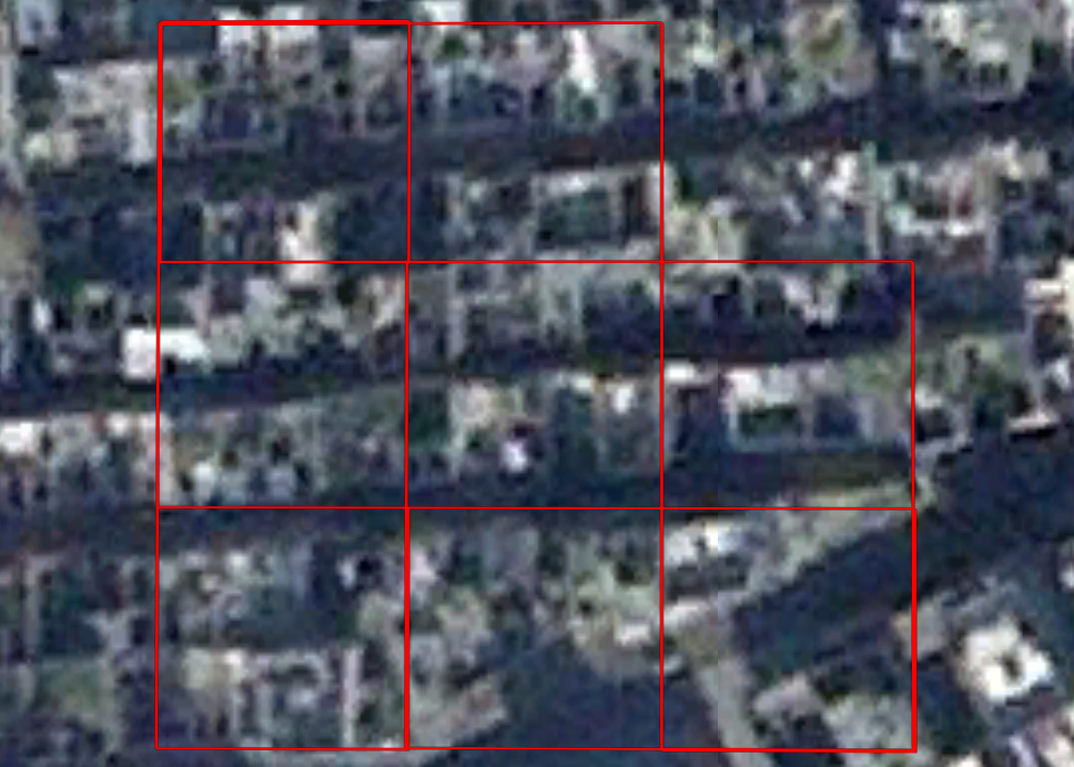
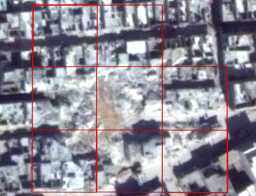
Ten known locations in Aleppo and Damascus (top left) were used calibrate algorithms to identify buildings before (top right) and after they were razed (middle right) and before (middle left) and after (bottom left) large-scale missiles impacted civilian neighborhoods.