Facilities and Equipment
The Human Security and Geospatial Intelligence Lab leverages a variety of resources to accomplish their research. These include:
- Hardware
- 3D computing: Thinkmate Workstation with two TITIAN Xp GPUs
- 2D computing: Two Dell PowerEdge R530 research servers
- eBee Plus fixed wing UAV in partnership with GeoAcuity
- Thermal and Multispectral cameras as needed
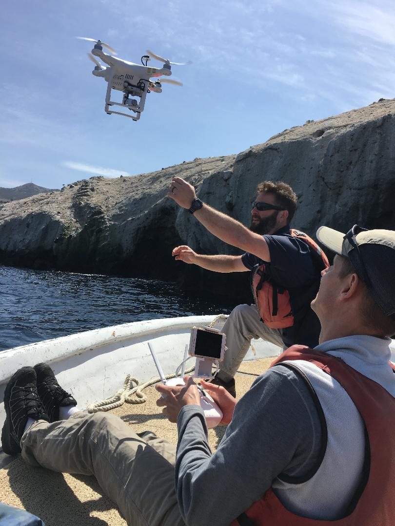
- DJI Quadcoptor Phantom 4
- Software
- Esri: ArcMap and ArcGIS Pro
- Python
- ENVI and Interactive Data Language
- Pix4D Drone Mapping Software

Researchers map Bird Rock off Catalina, CA